The Glenelg tram and the beaches: Adelaide’s coast on the map
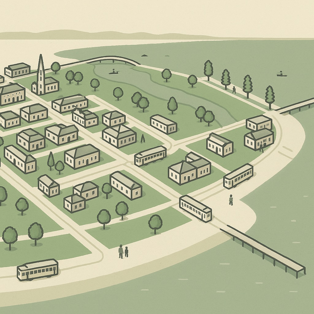
Adelaide once had trams to most of its inner suburbs and kept exactly one: the line from the city to Glenelg. It is the reason the city’s beach is a ten-kilometre tram ride rather than a drive, and it is the thread that ties the two halves of the map together — the square mile at one end, the sea at the other, and a run of flat suburbs in between that you would otherwise never look at.
The tram that survived
The Glenelg line is old — it began as a railway in the 1870s and was converted to a tramway in the 1920s — and for most of the twentieth century it ended at Victoria Square, a stub of a network that had otherwise been pulled up. This century it was extended: first along King William Street and North Terrace past the railway station, then west across the Park Lands to the Entertainment Centre at Hindmarsh, and later with a spur along North Terrace to the Botanic Garden. On the map the tracks are drawn as a line of their own, distinct from the railways, and the stops carry the tram marker.
The ride out
From the city the line runs down King William Street to South Terrace, crosses the southern Park Lands, and then settles into its own reservation between the houses. The suburbs it passes — Wayville, Forestville, Black Forest, Glandore, Plympton, Morphettville, Glengowrie — are the flat, mostly single-storey middle of the western suburbs, and from above they look it: an even carpet of small boxes with the racecourse at Morphettville the one large green interruption. The stops are numbered rather than named for most of the way, which is a habit the whole Adelaide Metro network shares.
Glenelg: Moseley Square and Jetty Road
The tram ends in Moseley Square, a paved plaza between the town hall and the beach, with the jetty running out into the gulf straight ahead. The square is the pivot of Glenelg: the beach and the marina to one side, and Jetty Road running inland from it as the suburb’s main street — a long strip of shops, cafés, pubs and takeaways with the tram running down the middle of it for the last few stops. The apartment towers along the esplanade to the north and south are the tallest things on the western half of the map, and the reason the beach end reads as a small city of its own from above.
- North of the jetty the beach runs past Glenelg North and the mouth of the Patawalonga to the marina and the Holdfast Shores development.
- South of the jetty the esplanade continues through Glenelg South towards Somerton Park and Brighton — the edge of the map’s coverage.
North along the coast to Henley
The coast north of Glenelg is where the map shows a different kind of Adelaide. Past the Patawalonga the houses give way to the dunes and reserves of West Beach, then to the airport — the largest single shape on the western half of the map, its runways drawn as roads with nothing on either side — and then, at Henley Beach, to a second beachside centre. Henley Square, where Henley Beach Road reaches the esplanade, is a plaza rather than a street, ringed with cafés and restaurants facing the water, with its own jetty and a smaller, quieter version of Glenelg’s crowd.
Between Henley and Glenelg there is no tram; the coast is a bus or a bike ride. The shared path along the esplanade and the dunes links the two, and the airport, which sits between them, is the reason there is so little else in the way.
Why the beach strip is on the map
The map is built around dense building stock, and the coast between Glenelg and Henley is not especially dense — there is a lot of sand, sky and airport in it. It is on the map anyway, for the same reason a map of Adelaide without the Park Lands would be wrong: the tram to the beach is part of how the city sees itself. Leaving it out would have made the map’s western edge a random line through Plympton. Drawing it in means the whole line is there, from Rundle Mall to the jetty, with every stop marked and every café on Jetty Road in the building it occupies.
If you run one of those cafés, or anything else along the coast, the card for it is already on the map and waiting to be claimed.