Adelaide’s café streets, from the East End to the beach
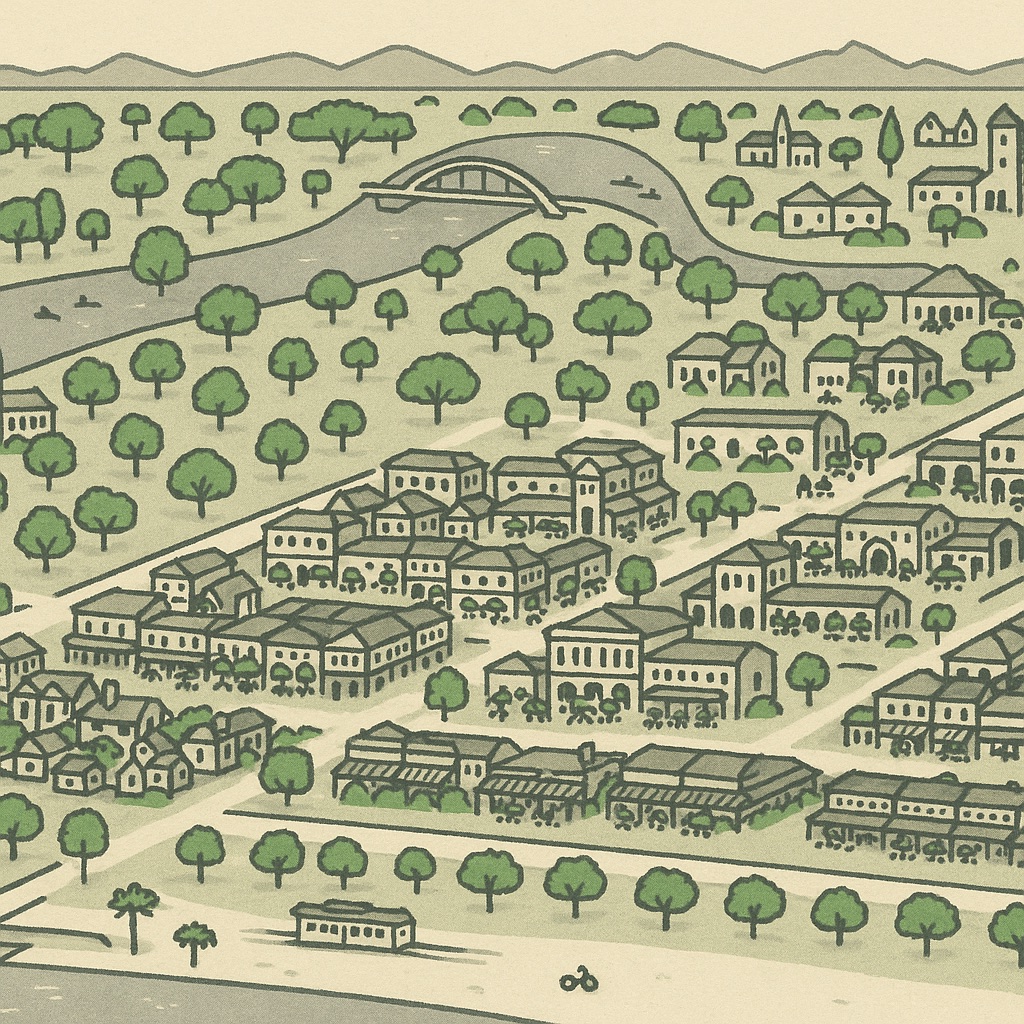
Adelaide is small enough that its cafés could have gathered in one district and left the rest of the city to the suburbs. They did not. Because the Park Lands hold the centre apart from everything around it, each inner suburb grew its own main street on the road that ran out through the parkland gap towards it, and the cafés settled along those roads. The result is a set of strips a few kilometres apart, each with its own character, and a centre whose coffee hides in laneways rather than on the boulevards. Below is a walk along them in the order they appear on the map, clockwise from the middle.
A city that eats by the street
The pattern is easiest to see from above. Open the map on the square mile, pull back until the green ring is in view, and the busy streets are the ones that leave the ring at right angles: Unley Road and King William Road southwards, The Parade and Magill Road eastwards, Prospect Road and Main North Road to the north, Henley Beach Road and Port Road to the west. Where a tram or a train once ran, the shops came first and the cafés moved into their shopfronts later, which is why the strips run straight for a long way rather than clustering around a single corner.
On the map a strip reads as a run of small, near-identical boxes along one road, each one with something trading in it, with the tall villas and bungalows a block behind. The buildings with a ×N badge are the ones where several venues share an address — an arcade, a food hall, a corner block with a café downstairs and something else upstairs.
Inside the square mile
The city’s own café life is split by King William Street. East of it is Rundle Street, the East End — the continuation of Rundle Mall past Pulteney Street, where the old wholesale fruit market gave way to a run of verandahed shopfronts, footpath tables and the lanes off Ebenezer Place. It is the strip Adelaide takes visitors to. West of King William Street the coffee is in the lanes rather than on the streets: Peel Street and Leigh Street between Hindley and Currie Streets are pedestrianised for most of their short length, and their cafés and bars spill across the paving.
The other centre of gravity is the Central Market block between Gouger and Grote Streets. The market itself is a single large building on the map; the cafés around it — on Gouger Street, in the arcades that lead to Victoria Square, along Moonta Street in Chinatown — are the ones that open earliest, because the traders do. The tram stops at Victoria Square, which puts the whole block a few minutes from Rundle Mall.
South of the Park Lands: King William Road and Unley Road
Cross South Terrace and the Park Lands, and the two main roads south are both café strips within a kilometre of each other. King William Road through Hyde Park is the more polished: a single straight street of boutiques, cafés and restaurants under street trees, with bluestone and sandstone villas one block back on either side. Unley Road, parallel to it and a little further east, is longer and more everyday — the cafés are mixed in with the shops a suburb needs, and the strip runs on through Unley into Malvern and Mitcham without ever quite stopping. Between the two, on Goodwood Road, the third strip is smaller and more local again.
East: The Parade and the villa suburbs
The Parade in Norwood is the widest of the strips and the one that feels most like a town’s high street: a broad road with the Norwood town hall, cinemas and a long run of cafés and restaurants on both sides, and a grid of cottages and villas behind it that the map shows as tight, even rows. It is reached from the city along Rundle Street’s eastward continuation through Kent Town, which has its own smaller cluster of cafés among the offices. Further east and north, Magill Road carries a thinner scatter of cafés out towards Magill, and Kensington Road a few more through Rose Park and Marryatville.
North: Prospect Road, O’Connell Street and Melbourne Street
North Adelaide has two strips of its own inside the Park Lands. O’Connell Street is the pub-and-café spine of the North Adelaide grid, running from the Torrens up to the northern Park Lands; Melbourne Street, on the eastern edge, is quieter and leans towards restaurants. Beyond the ring, Prospect Road picks up where O’Connell Street leaves off: a long, straight main road through Prospect whose cafés have filled in around the older shops over the last decade or so. On the map the Prospect strip is where the northern suburbs start to look denser again after the Park Lands gap.
The coast: Jetty Road and Henley Square
The two beachside strips are at the far western edge of the map, and both face the water. Jetty Road, Glenelg runs from the tram’s end at Moseley Square back towards Brighton Road, with the cafés thickest near the beach end and the jetty. Henley Square, a few kilometres north, is not a street but a small plaza where Henley Beach Road meets the esplanade, ringed by cafés and restaurants that look straight out to sea. Between them the esplanade through West Beach has only a scatter.
- Glenelg is the one strip you can reach by tram from the centre of the city without changing.
- Henley Beach is a bus ride along Henley Beach Road, which passes its own smaller café strips through Mile End and Torrensville on the way.
Every café on these streets is on the map, drawn in the building it occupies, with the hours and contacts owners have supplied where they have claimed their card. Where they have not, the listing is OpenStreetMap’s — usually right, occasionally a year behind. If yours is wrong, claiming it is the quickest fix.